
Our Projects
A1331 Link Road Phase 1
Client: Octavius Infrastructure
Project Value: £27million
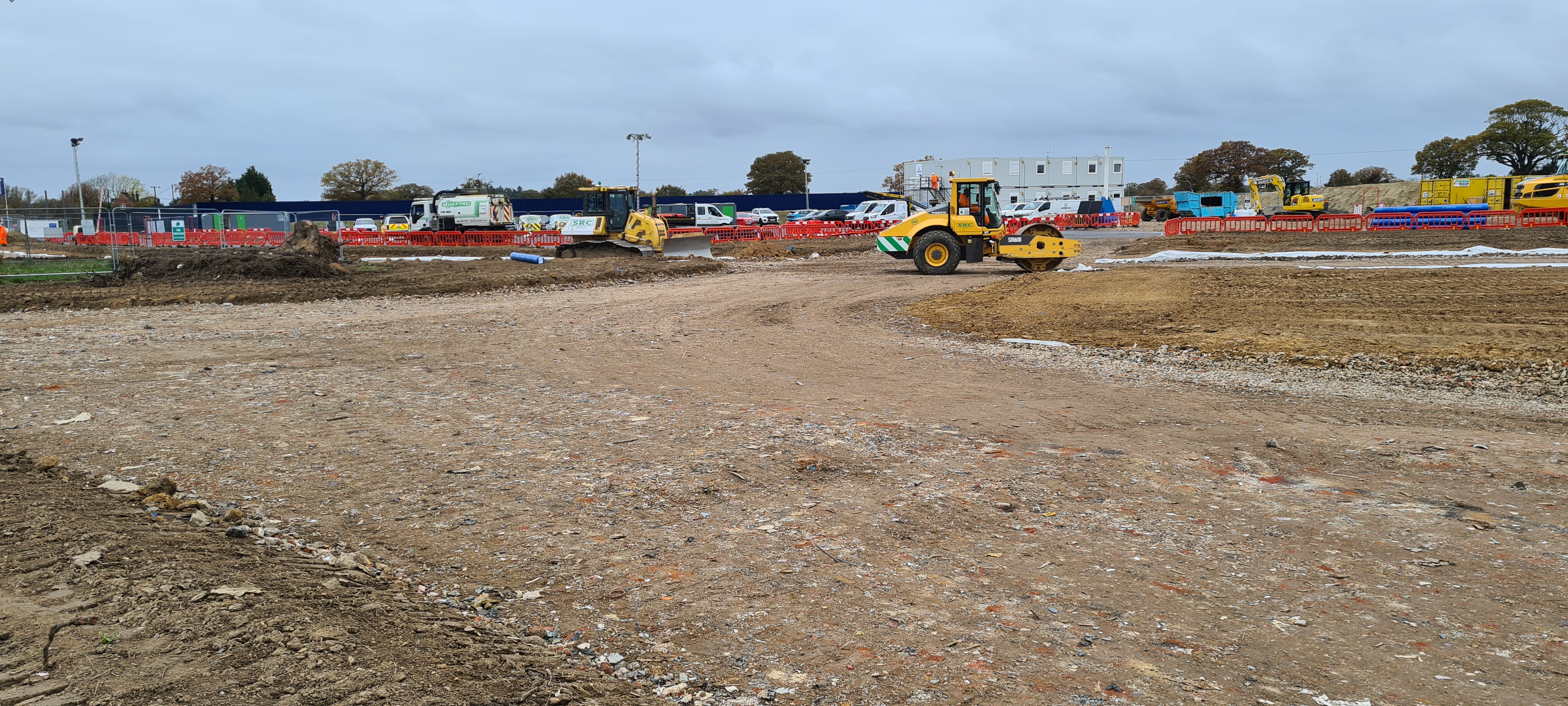
Octavius have been successful in their bid to construct Phase One of the new A1331 Link Road which will link the A133 and A120 outside Colchester and forms the first part of a new housing development and rapid transit system.
The main works during the early stages of the project is site preparation, topsoil stripping, and bulk material imports to prepare the haul routes and eventually the base of the carriageway.
During later stages of the project the focus will shift to detail and accuracy of kerb lines, drainage, and finally the finish of the work.
Faced with a large scheme with significant ground works and a requirement for exacting commercial and engineering detail, Octavius asked us to join the project to give them key oversight.
How we are helping
Engineering control
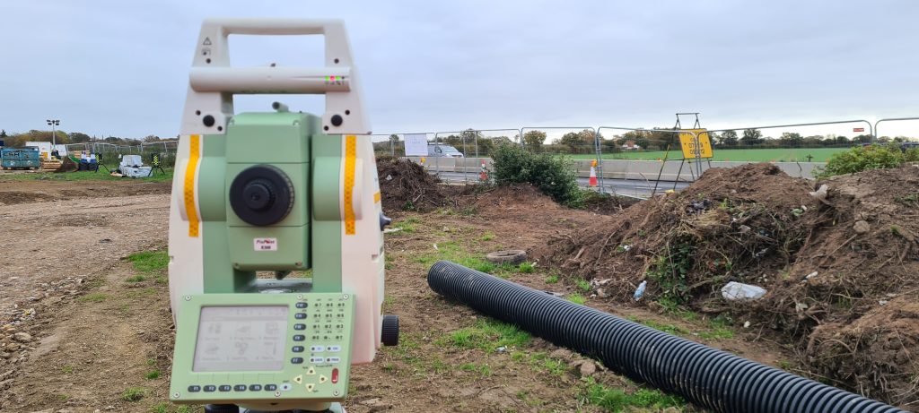
When the success of a £27m project depends on you providing accurate engineering control, establishing ground control points becomes a tense job.
The ground is soft agricultural land, and being mindful of ground heave through freeze-thaw action, heavy plant, and equipment operating near to the installed control points. We realised our standard 360mm ground markers may not stand up to the task.
So we established engineering control by encasing the ground markers in 34No. 600mm x 400mm concrete plinths to reduce movement in the control points and we supplemented them with 5No. 60mm survey pins in the A133 carriageway as a fall back in case we needed to completely re-establish site control.
The degree of accuracy is maintained by regular maintenance visits to identify and rectify any differential caused by natural ground movement or disturbance from nearby works.
UAS Photogrammetry
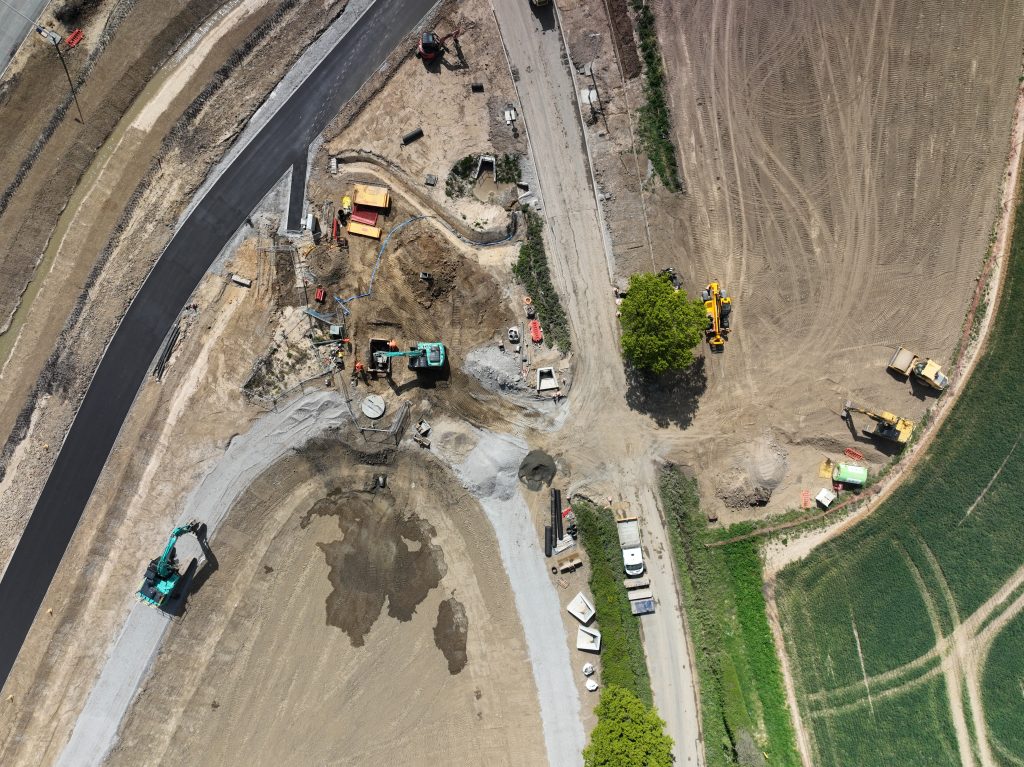
Unlike a traditional time-lapse camera, which can only focus on the area immediately around it; our Matrice UAS equipped with a 50MP camera can capture the entire site in fine detail. The advantage of being airborne and having a fully gimballed camera payload is that we can see things a human or vehicle mounted camera can’t.
What would have taken our engineering team two days with traditional backpack mounted LiDAR or 360° camera equipment in the past now takes us a few hours, and if necessary we can investigate and map works areas in future phases so we can develop advanced risk mitigation and reduction processes before Octavius start work in those areas.
Because the UAS is flying at 50m ~ 75m above ground level, it is completely unintrusive to the works. It requires no one to stop what they are doing or move out of the way, and most of the time no one is aware of its presence.
The photogrammetry data builds a holistic and uniform progress model which Octavius can interact with and interrogate to identify safe systems of works, improve works planning, or even reshape site logistics well in advance of the event happening.
Stockpile and cut and fill analysis
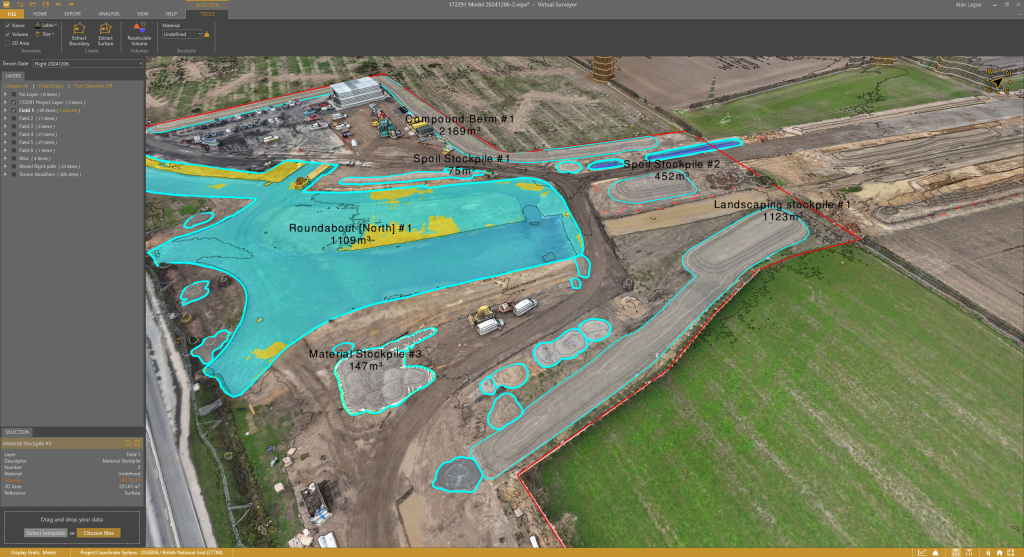
With a project of this magnitude every penny matters.
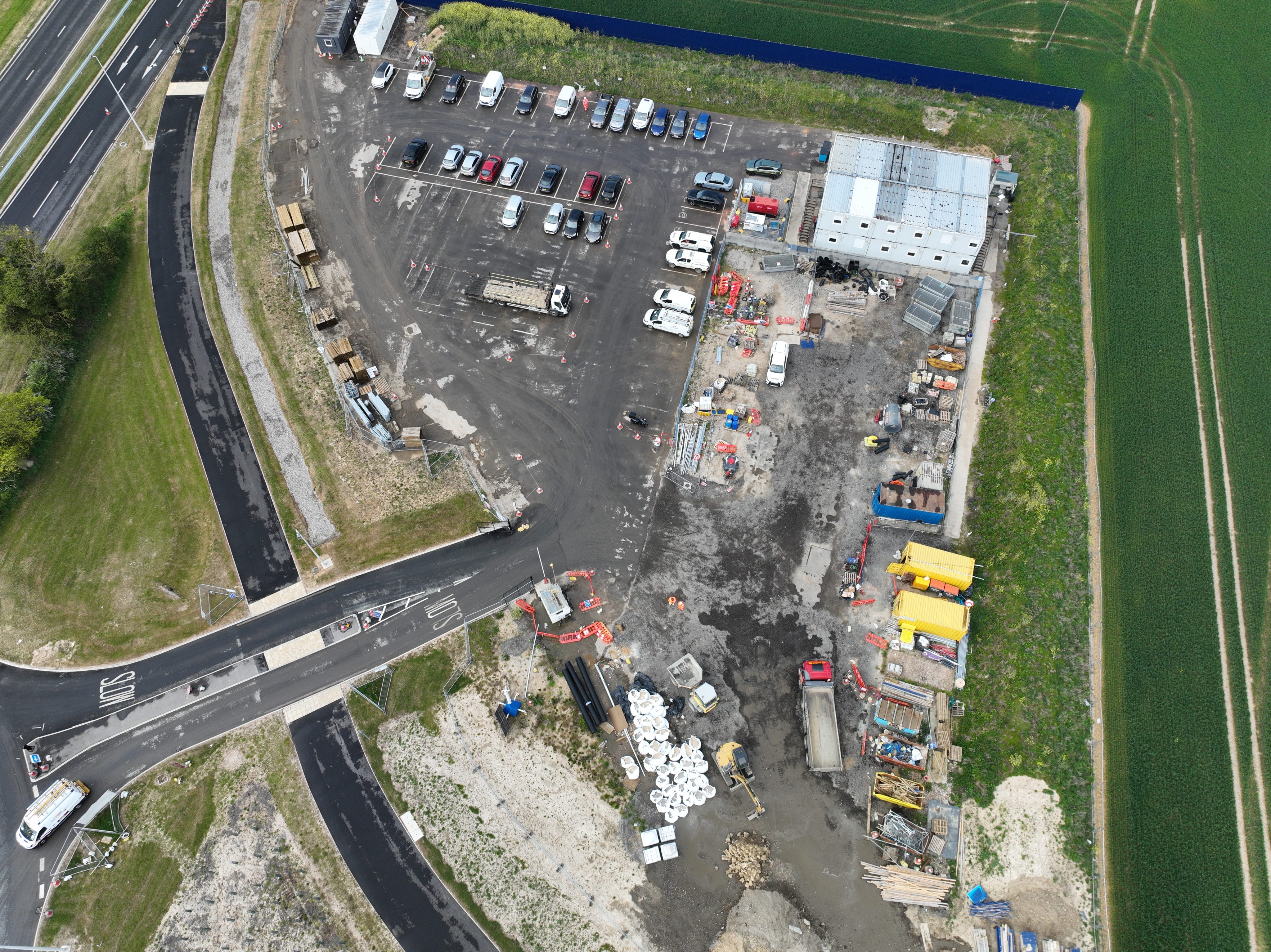
The data model we produce from our UAS surveys not only tracks progress and highlights potential operational risks. It is also being used to identify and track commercial risk.
Understandably Octavius are keen to quantify the volumes of material being removed, imported, and stockpiled. Utilising our photogrammetry data and importing it into Virtual Surveyor we are providing them detailed figures of cut and fill volumes, and material stockpiles so they are better able to forecast budgets and commercial applications from their subcontractors.
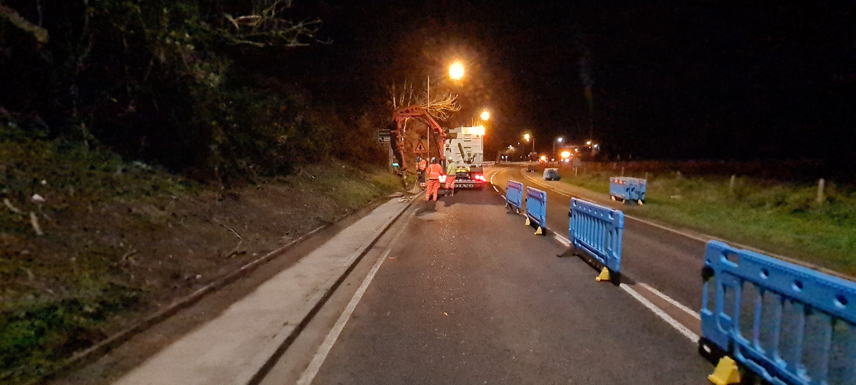
You can rely on us to improve safety, raise standards, drive delivery, and manage your site effectively
Contact our team to understand how we can meet your exact requirements, discuss our various services and how we can manage your your site effectively.